
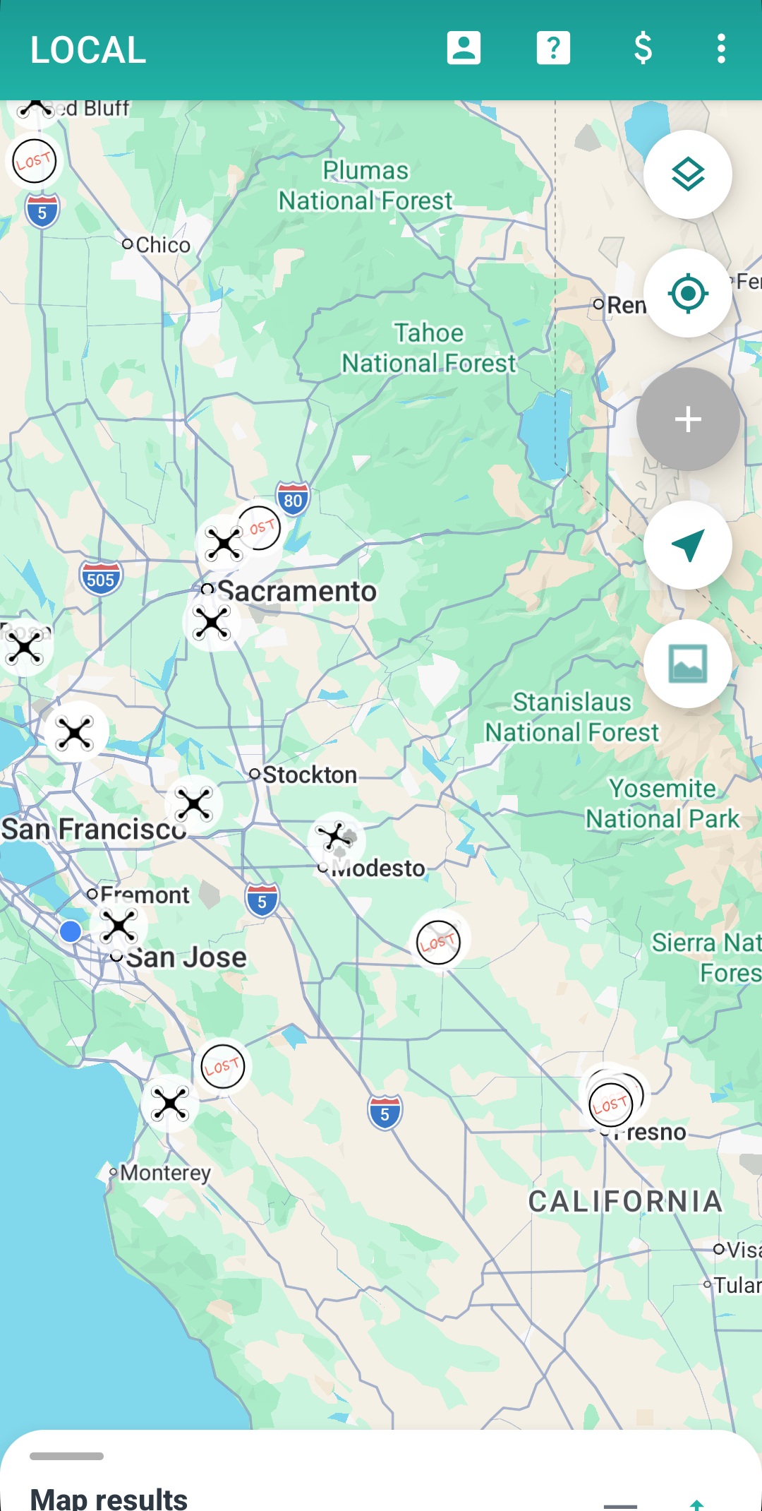
Community spot map
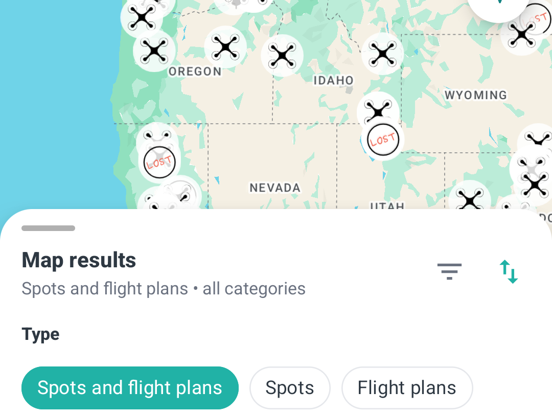
Browse drone-friendly locations pinned by other pilots, colour-coded by category and loaded live for wherever you pan the map.
Discover the best flying locations near you on a live community map, schedule public or private flights, invite friends and get reminded before every session.
From scouting a new location to gathering a crew — Drone Spot Finder covers the whole session.
Browse drone-friendly locations pinned by other pilots, colour-coded by category and loaded live for wherever you pan the map.
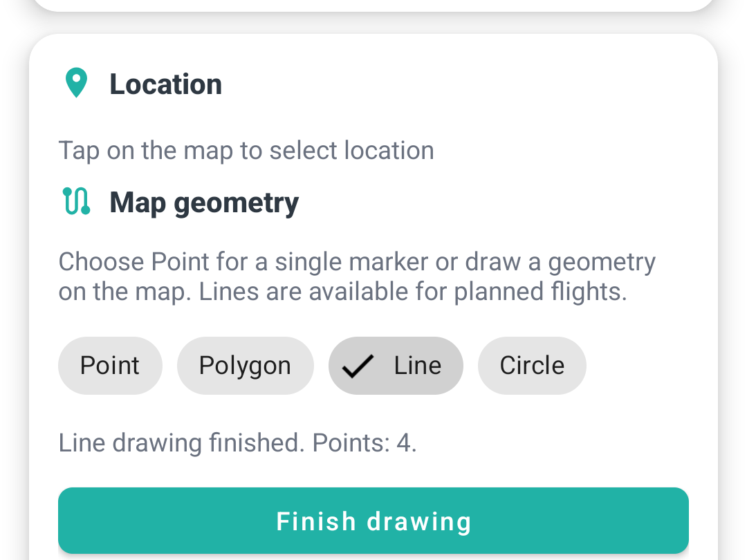
Schedule a flight with a date, place and category. Make it public so anyone can discover it, or keep it private for your circle.
Add friends, invite them to events and request to join someone else's flight. See who's coming before you head out.
Get a push notification and email before flights you organise or follow, so you're never caught out by the schedule.
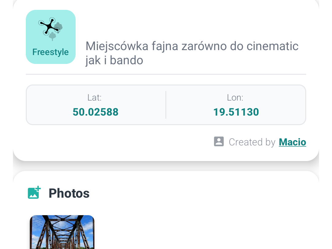
Every spot and event has a photo gallery and can link YouTube clips — scout the location and the conditions before you drive out.
A dedicated Lost Drone category lets you mark where a drone went down — and helps the community reunite pilots with their gear.
Get from “where should I fly?” to “see you there” in minutes.
Open the map and explore spots and upcoming flights near you, with photos, categories and directions.
Create a flight, set the time and place, and choose whether the community or just your friends can see it.
Invite friends, watch join requests roll in, get reminded — then head out and share your best shots.
A quick tour of the map, flight planning and spot galleries.